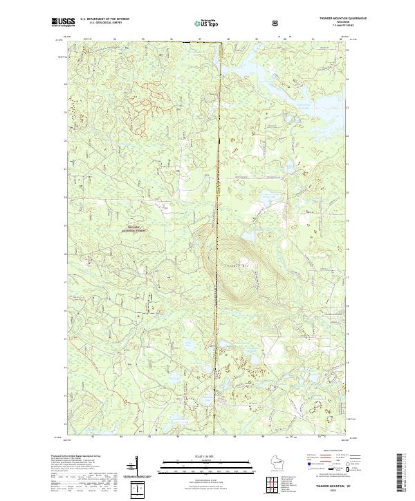
2022 Map of Thunder Mountain
USGS Topo · Published 2022About this map
Nicolet National Forest provides the backdrop for this northern Wisconsin landscape, defined by a dense network of lakes and watercourses spanning the border of Oconto and Marinette counties. The northern reaches are dominated by the Peshtigo River and the expansive Caldron Falls Reservoir, while the central terrain is marked by the prominent height of Thunder Mtn. The area is a labyrinth of glacial lakes, from the northern Lackawanna Lake to a cluster of smaller basins in the south including Mirror Lake, Bottle Lake, and Flower Lake. Modern recreational use is evident through the presence of the Pipeline 4x4 Challenge Trl and various ATV trails, while forest management roads like Marinette Co Forest Rd provide access through the thick timber and marshy lowlands of the S Fork Thunder River.
Find a feature on this map
82 named features on this map. Tap any name to fly to it.
Don’t see what you’re looking for? This feature index may not catch every label — zoom into the map to look around manually.
Map Details
Editions of this 2022 Thunder Mountain Map
This is the sole edition of this map. No revisions or reprints were ever made.
Other maps of this area

1940 · Thunder Mtn.
USGS Topo · 1:48,000

1940 · Athelstane
USGS Topo · 1:48,000

1941 · Coleman
USGS Topo · 1:48,000

1942 · Athelstane
USGS Topo · 1:48,000

1942 · Coleman
USGS Topo · 1:48,000

1942 · Breed
USGS Topo · 1:48,000

1950 · Coleman
USGS Topo · 1:48,000

1951 · Thunder Mountain
USGS Topo · 1:48,000

1952 · Mountain
USGS Topo · 1:48,000

1954 · Iron Mountain
USGS Topo · 1:250,000