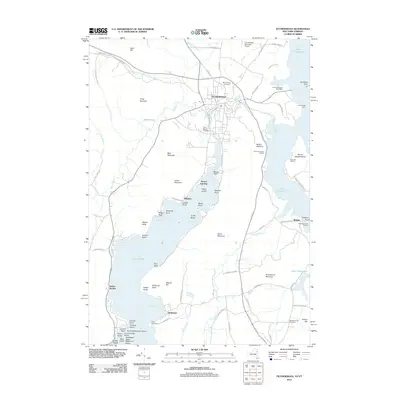
2012 Map of Ticonderoga
USGS Topo · Published 2012About this map
Ticonderoga sits at the strategic interface of Lake Champlain and Lake George, where the waters of La Chute connect the two basins. This 2012 survey documents the enduring geography of this significant corridor, showing the established settlement patterns in Baldwin, Glenburnie, and Wright. The map details the local infrastructure from the Ticonderoga Municipal Airport to the Fort Ticonderoga Station and the Ticonderoga Light.
Find a feature on this map
99 named features on this map. Tap any name to fly to it.
Don’t see what you’re looking for? This feature index may not catch every label — zoom into the map to look around manually.
Map Details
Editions of this 2012 Ticonderoga Map
This is the sole edition of this map. No revisions or reprints were ever made.
Other maps of this area

1893 · Whitehall
USGS Topo · 1:62,500

1894 · Ticonderoga
USGS Topo · 1:62,500

1895 · Whitehall
USGS Topo · 1:62,500

1895 · Paradox Lake
USGS Topo · 1:62,500

1896 · Ticonderoga
USGS Topo · 1:62,500

1897 · Bolton
USGS Topo · 1:62,500

1897 · Paradox Lake
USGS Topo · 1:62,500

1898 · Whitehall
USGS Topo · 1:62,500

1900 · Bolton
USGS Topo · 1:62,500

1902 · Whitehall
USGS Topo · 1:62,500