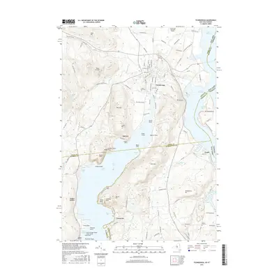
2016 Map of Ticonderoga
USGS Topo · Published 2016About this map
Ticonderoga sits at the strategic confluence where the waters of Lake George descend through La Chute into Lake Champlain. This 2016 survey illustrates the complex topography of the Champlain Valley, dominated by prominent heights such as Mt Defiance and Mt Independence which historically commanded the water passage. The settlement pattern follows the valley floor, with the main village of Ticonderoga flanked by outlying communities like Baldwin and Glenburnie.
Find a feature on this map
125 named features on this map. Tap any name to fly to it.
Don’t see what you’re looking for? This feature index may not catch every label — zoom into the map to look around manually.
Map Details
Editions of this 2016 Ticonderoga Map
This is the sole edition of this map. No revisions or reprints were ever made.
Other maps of this area

1893 · Whitehall
USGS Topo · 1:62,500

1894 · Ticonderoga
USGS Topo · 1:62,500

1895 · Whitehall
USGS Topo · 1:62,500

1895 · Paradox Lake
USGS Topo · 1:62,500

1896 · Ticonderoga
USGS Topo · 1:62,500

1897 · Bolton
USGS Topo · 1:62,500

1897 · Paradox Lake
USGS Topo · 1:62,500

1898 · Whitehall
USGS Topo · 1:62,500

1900 · Bolton
USGS Topo · 1:62,500

1902 · Whitehall
USGS Topo · 1:62,500