
1956 Map of Tidewater
USGS Topo · Published 1958About this map
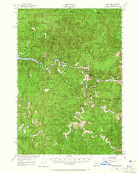
The Alsea River snakes through the heart of the Siuslaw National Forest, anchoring a landscape defined by timber, mountain ridges, and isolated outposts in the mid-1950s. The settlement of Tidewater serves as a focal point along the river's winding course, while the confluence of Five Rivers and the Yachats River drainage to the south reveal the complex hydrology of the Coast Range. This survey, updated from 1942 planetable work and 1952 aerial photography, documents a period when forest management and local agriculture were primary drivers of the region's economy.
Find a feature on this map
66 named features on this map. Tap any name to fly to it.
Don’t see what you’re looking for? This feature index may not catch every label — zoom into the map to look around manually.
Map Details
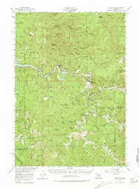
Editions of this 1956 Tidewater Map
3 editions found
Other maps of this area

1918 · Mapleton
USGS Topo · 1:48,000

1920 · Heceta Head
USGS Topo · 1:62,500

1922 · Waldport
USGS Topo · 1:62,500

1939 · Marys Peak
USGS Topo · 1:62,500

1940 · Mapleton
USGS Topo · 1:62,500

1941 · Blachly
USGS Topo · 1:62,500

1942 · Marys Peak
USGS Topo · 1:62,500

1942 · Alsea
USGS Topo · 1:62,500

1942 · Blachly
USGS Topo · 1:62,500

1942 · Waldport
USGS Topo · 1:62,500