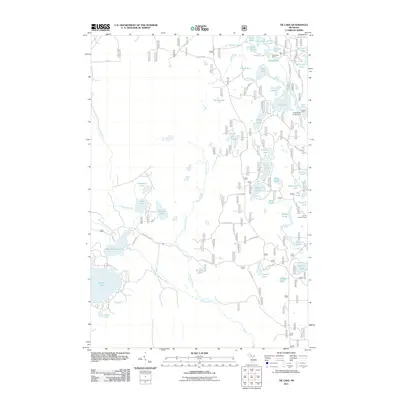
2011 Map of Tie Lake
USGS Topo · Published 2011About this map
Indian River winds through a dense network of kettle lakes and wetlands in this part of Michigan's Upper Peninsula. The landscape is defined by its recreation and forestry infrastructure, centered on landmarks like the Tie Hill Lookout Tower and seasonal outposts such as Camp Red Buck and Camp K Lake. A web of Forest Service roads, including Usfs 2192 RD and Usfs 2189 RD, provides access to numerous water bodies like Tie Lake, Carp Lake, and the Cluster Lakes.
Find a feature on this map
63 named features on this map. Tap any name to fly to it.
Don’t see what you’re looking for? This feature index may not catch every label — zoom into the map to look around manually.
Map Details
Editions of this 2011 Tie Lake Map
This is the sole edition of this map. No revisions or reprints were ever made.
Other maps of this area

1931 · Skeels Lake NE
USGS Topo · 1:31,680

1931 · Munising SE
USGS Topo · 1:31,680

1932 · Skeels Lake SE
USGS Topo · 1:31,680

1932 · Trenary SE
USGS Topo · 1:31,680

1932 · Skeels Lake NW and SW
USGS Topo · 1:31,680

1958 · Corner Lake
USGS Topo · 1:62,500

1958 · Trenary
USGS Topo · 1:62,500

1958 · Munising
USGS Topo · 1:62,500

1958 · Au Train
USGS Topo · 1:62,500

1958 · Marquette
USGS Topo · 1:250,000