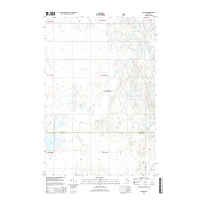
2014 Map of Tie Lake
USGS Topo · Published 2014About this map
Hiawatha National Forest defines this part of Michigan’s Upper Peninsula, where the landscape is dominated by a dense concentration of glacial lakes and waterways. The northern reach of the Sturgeon River and its various branches wind through the western half of the map, while the Indian River cuts through the northeast near Bar Lake. This area at the border of Alger and Delta counties is a complex network of freshwater bodies, ranging from the prominent Tie Lake and McComb Lake to the smaller Cluster Lakes.
Find a feature on this map
44 named features on this map. Tap any name to fly to it.
Don’t see what you’re looking for? This feature index may not catch every label — zoom into the map to look around manually.
Map Details
Editions of this 2014 Tie Lake Map
This is the sole edition of this map. No revisions or reprints were ever made.
Other maps of this area

1931 · Skeels Lake NE
USGS Topo · 1:31,680

1931 · Munising SE
USGS Topo · 1:31,680

1932 · Skeels Lake SE
USGS Topo · 1:31,680

1932 · Trenary SE
USGS Topo · 1:31,680

1932 · Skeels Lake NW and SW
USGS Topo · 1:31,680

1958 · Corner Lake
USGS Topo · 1:62,500

1958 · Trenary
USGS Topo · 1:62,500

1958 · Munising
USGS Topo · 1:62,500

1958 · Au Train
USGS Topo · 1:62,500

1958 · Marquette
USGS Topo · 1:250,000