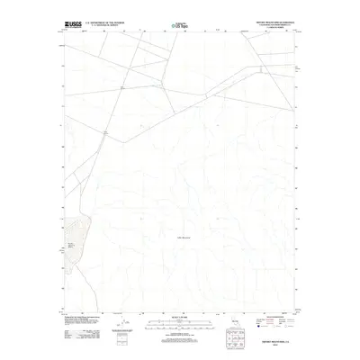
2012 Map of Tiefort Mountains
USGS Topo · Published 2012About this map
Bicycle Lake Army Airfield occupies the southwestern corner of this desert landscape, serving as a critical infrastructure point in the high Mojave. The terrain is dominated by the massive presence of the Tiefort Mountains, which rise sharply from the surrounding basins. This 2012 survey illustrates the sparse, high-elevation road network typical of remote military and resource areas in San Bernardino County. Notable landmarks such as Four Corners and Three Corners mark key intersections in the arid expanse, providing essential reference points for navigation through the dry washes and mountainous passes that characterize this part of the California interior. The map documents the physical geography of the range before more recent shifts in land use or environmental change.
Find a feature on this map
4 named features on this map. Tap any name to fly to it.
Don’t see what you’re looking for? This feature index may not catch every label — zoom into the map to look around manually.
Map Details
Editions of this 2012 Tiefort Mountains Map
This is the sole edition of this map. No revisions or reprints were ever made.
Other maps of this area

1933 · Avawatz Mountains
USGS Topo · 1:250,000

1947 · Trona
USGS Topo · 1:250,000

1948 · Red Pass Lake
USGS Topo · 1:62,500

1948 · Trona
USGS Topo · 1:250,000

1948 · Alvord Mountain
USGS Topo · 1:62,500

1948 · Cave Mountain
USGS Topo · 1:62,500

1948 · Tiefort Mountains
USGS Topo · 1:62,500

1951 · Tiefort Mountains
USGS Topo · 1:62,500

1951 · Cave Mountain
USGS Topo · 1:62,500

1951 · Alvord Mountain
USGS Topo · 1:62,500