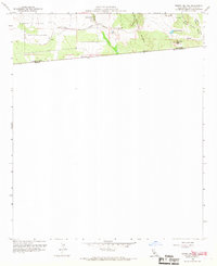
1959 Map of Tierra Del Sol
USGS Topo · Published 1967About this map
Tierra del Sol sits at the heart of this high-desert landscape in the late 1950s, positioned just north of the international border between the United States and Mexico. The terrain is defined by the prominent Tecate Divide and Rattlesnake Mountain, which overlook the eastern stretches of the Campo Indian Reservation. A critical transport artery, the San Diego and Arizona Eastern railroad, winds through the southern portion of the quadrangle, tracing the contours of the land near the border. Water sources appear as scattered features in this arid environment, including Lake Domingo, several unnamed Springs, and the seasonal flow of Jewell Valley Creek. The presence of numerous bench marks and triangulation stations like Boundary Peak indicates the precision required for mapping this varied topography along the California and Baja California line.
Find a feature on this map
21 named features on this map. Tap any name to fly to it.
Don’t see what you’re looking for? This feature index may not catch every label — zoom into the map to look around manually.
Map Details
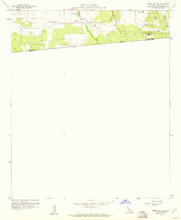
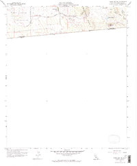
Editions of this 1959 Tierra Del Sol Map
3 editions found
Other maps of this area

1931 · Carrizo
USGS Topo · 1:125,000

1939 · Campo
USGS Topo · 1:62,500

1939 · Jacumba
USGS Topo · 1:62,500

1942 · Campo
USGS Topo · 1:62,500

1942 · Jacumba
USGS Topo · 1:62,500

1950 · San Diego
USGS Topo · 1:250,000

1954 · San Diego
USGS Topo · 1:250,000

1955 · San Diego
USGS Topo · 1:250,000

1958 · San Diego
USGS Topo · 1:250,000
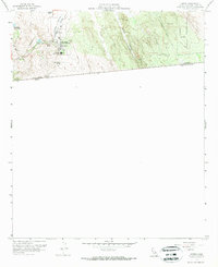
1959 · Campo
USGS Topo · 1:24,000