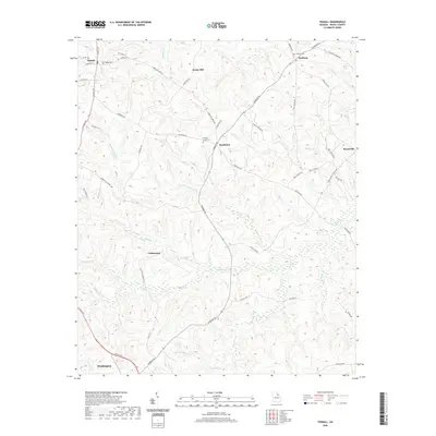
2020 Map of Tignall
USGS Topo · Published 2020About this map
Tignall serves as a primary hub in this northern Wilkes County landscape, where the intersection of Tignall Rd and N Hulin Ave anchors the local community. The area is defined by a dense network of watercourses, including Fishing Cr and Anderson Mill Cr, which carve through the terrain between small settlements like Sandtown and Cohentown. For those tracing local heritage, the map identifies several key burial sites, notably Tignall Cem, Fishing Creek Cem, and Danburg Cem near the northeastern edge of the sheet.
Find a feature on this map
54 named features on this map. Tap any name to fly to it.
Don’t see what you’re looking for? This feature index may not catch every label — zoom into the map to look around manually.
Map Details
Editions of this 2020 Tignall Map
This is the sole edition of this map. No revisions or reprints were ever made.
Other maps of this area
1906 · Crawfordville
USGS Topo · 1:125,000

1953 · Athens
USGS Topo · 1:250,000
1954 · Metasville
USGS Topo · 1:24,000
1955 · Tignall
USGS Topo · 1:24,000
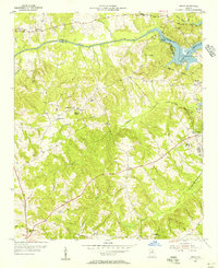
1955 · Broad
USGS Topo · 1:24,000
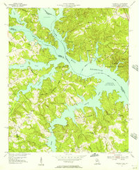
1955 · Chennault
USGS Topo · 1:24,000

1958 · Athens
USGS Topo · 1:250,000

1959 · Athens
USGS Topo · 1:250,000

1963 · Athens
USGS Topo · 1:250,000
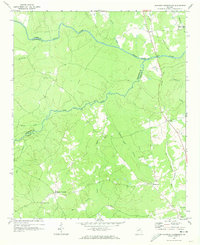
1970 · Jacksons Crossroads
USGS Topo · 1:24,000