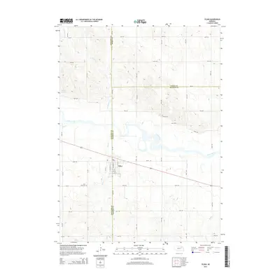
2014 Map of Tilden
USGS Topo · Published 2014About this map
Tilden serves as a central hub at the junction of Antelope and Madison Counties, where the city street grid meets a landscape of undulating drainage basins. The Elkhorn River winds through the center of the sheet, its meandering course flanked by several smaller tributaries including Giles Cr and Ives Cr. This 2014 survey documents the area's rural character and infrastructure, from the small Eggers Reservoir in the northwest to the quiet grounds of Saint Marys Cem and Howard Cem. The road network is heavily dictated by county boundaries, with a transition between the north-south alignment of Antelope County and the east-west oriented township roads of Madison and Pierce Counties. Local historians can find the specific footprints of family-named landmarks like Al Hopkins Cr and Dry Cr, which highlight the drainage patterns that have historically shaped farm boundaries in this part of Nebraska.
Find a feature on this map
34 named features on this map. Tap any name to fly to it.
Don’t see what you’re looking for? This feature index may not catch every label — zoom into the map to look around manually.
Map Details
Editions of this 2014 Tilden Map
This is the sole edition of this map. No revisions or reprints were ever made.
Other maps of this area
1955 · Sioux City
USGS Topo · 1:250,000
1955 · Fremont
USGS Topo · 1:250,000
1957 · Fremont
USGS Topo · 1:250,000
1958 · Sioux City
USGS Topo · 1:250,000
1958 · Fremont
USGS Topo · 1:250,000
1959 · Sioux City
USGS Topo · 1:250,000
1963 · Pierce NW
USGS Topo · 1:24,000
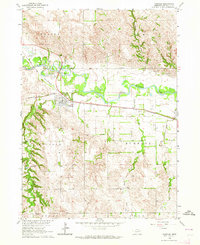
1963 · Oakdale
USGS Topo · 1:24,000
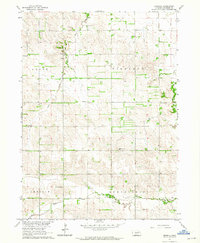
1963 · Emerick
USGS Topo · 1:24,000
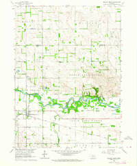
1963 · Meadow Grove
USGS Topo · 1:24,000