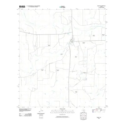
2010 Map of Tilden
USGS Topo · Published 2010About this map
The settlement of Tilden serves as the focal point of this South Texas landscape, situated at a bend in the Frio River. The terrain is defined by a dense network of intermittent waterways and drainage features, including Birds Nest Slough, Big Slough, and Leoncita Creek, which feed into the main river channel. Local topography is characterized by named depressions such as Javelina Hollow, Sloppy Hollow, and Hackberry Hollow, illustrating the subtle yet significant variations in the regional relief.
Find a feature on this map
28 named features on this map. Tap any name to fly to it.
Don’t see what you’re looking for? This feature index may not catch every label — zoom into the map to look around manually.
Map Details
Editions of this 2010 Tilden Map
This is the sole edition of this map. No revisions or reprints were ever made.
Other maps of this area

1920 · Mikeska
USGS Topo · 1:125,000

1925 · Tilden No. 1
USGS Topo · 1:48,000

1925 · Crowther No. 3
USGS Topo · 1:48,000

1925 · Simmons No. 2
USGS Topo · 1:48,000

1929 · Simmons
USGS Topo · 1:62,500

1930 · Tilden
USGS Topo · 1:62,500

1930 · Whitsett
USGS Topo · 1:62,500

1942 · Tilden
USGS Topo · 1:62,500

1942 · Whitsett
USGS Topo · 1:62,500

1953 · Crystal City
USGS Topo · 1:250,000