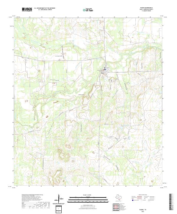
2022 Map of Tilden
USGS Topo · Published 2022About this map
Tilden serves as the focal point of this South Texas landscape, where the McMullen County Courthouse anchors the local seat of government. The town's historical geography is marked by the presence of both Boot-Hill Cem and Hilltop Cem, while the winding course of the Frio River and its associated waterways like Birds Nest Slough and Big Slough define the drainage patterns of the region. The map reveals a transition from the structured town grid to the sprawling ranchlands and diverse terrain features of the surrounding countryside.
Find a feature on this map
42 named features on this map. Tap any name to fly to it.
Don’t see what you’re looking for? This feature index may not catch every label — zoom into the map to look around manually.
Map Details
Editions of this 2022 Tilden Map
This is the sole edition of this map. No revisions or reprints were ever made.
Other maps of this area

1920 · Mikeska
USGS Topo · 1:125,000

1925 · Tilden No. 1
USGS Topo · 1:48,000

1925 · Crowther No. 3
USGS Topo · 1:48,000

1925 · Simmons No. 2
USGS Topo · 1:48,000

1929 · Simmons
USGS Topo · 1:62,500

1930 · Tilden
USGS Topo · 1:62,500

1930 · Whitsett
USGS Topo · 1:62,500

1942 · Tilden
USGS Topo · 1:62,500

1942 · Whitsett
USGS Topo · 1:62,500

1953 · Crystal City
USGS Topo · 1:250,000