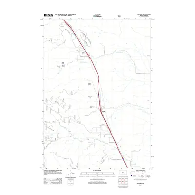
2012 Map of Tilford
USGS Topo · Published 2012About this map
The settlement of Tilford serves as a central hub in this corridor of Meade County, situated where the plains meet the rising drainages of the Black Hills. The landscape is defined by a series of prominent ravines including Tilford Gulch, Breakneck Gulch, and Bulldog Gulch, which channel seasonal water toward Morris Cr and Elk Cr. To the northwest, the Black Hills National Cem occupies a significant position near Alkali Cr, while Bald Mountain anchors the high ground to the southwest.
Find a feature on this map
45 named features on this map. Tap any name to fly to it.
Don’t see what you’re looking for? This feature index may not catch every label — zoom into the map to look around manually.
Map Details
Editions of this 2012 Tilford Map
This is the sole edition of this map. No revisions or reprints were ever made.
Other maps of this area

1893 · Rapid
USGS Topo · 1:125,000

1894 · Deadwood
USGS Topo · 1:125,000

1898 · Rapid
USGS Topo · 1:125,000

1899 · Sturgis
USGS Topo · 1:62,500

1901 · Deadwood
USGS Topo · 1:125,000

1903 · Rapid
USGS Topo · 1:125,000

1915 · Sturgis
USGS Topo · 1:62,500

1916 · Deadwood
USGS Topo · 1:125,000

1953 · Blackhawk
USGS Topo · 1:24,000

1953 · Piedmont
USGS Topo · 1:24,000