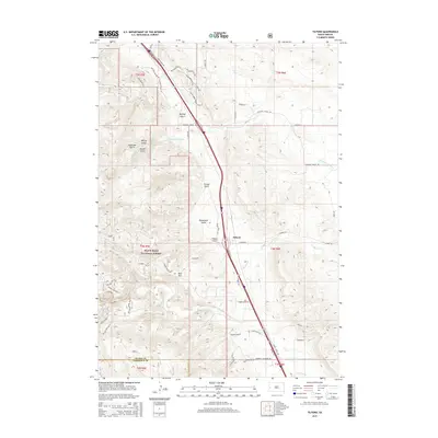
2015 Map of Tilford
USGS Topo · Published 2015About this map
Tilford sits as the central settlement in this portion of the Black Hills foothills, positioned where the terrain transitions from the open plains of the east into the deeply dissected canyons of the Black Hills National Forest. The landscape is defined by a series of dramatic drainages including Breakneck Gulch, Bulldog Gulch, and Syndicate Gulch, which cut through the uplift toward Pleasant Valley Cr and Morris Cr. South of the main settlement, Bald Mtn serves as a prominent landmark overlooking the confluence of local trails and modern infrastructure. The presence of routes like Crystal Cave Br 38 and the Big Elk Burn area reflects the intersection of recreational access and the environmental history of the forest. This survey captures the rural character of Meade County at a time when traditional ranching roads like Snyder Ranch Rd met increasing residential development along the Sturgis Rd corridor.
Find a feature on this map
57 named features on this map. Tap any name to fly to it.
Don’t see what you’re looking for? This feature index may not catch every label — zoom into the map to look around manually.
Map Details
Editions of this 2015 Tilford Map
This is the sole edition of this map. No revisions or reprints were ever made.
Other maps of this area
1893 · Rapid
USGS Topo · 1:125,000
1894 · Deadwood
USGS Topo · 1:125,000
1898 · Rapid
USGS Topo · 1:125,000
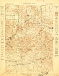
1899 · Sturgis
USGS Topo · 1:62,500
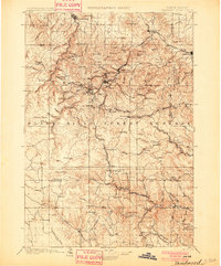
1901 · Deadwood
USGS Topo · 1:125,000
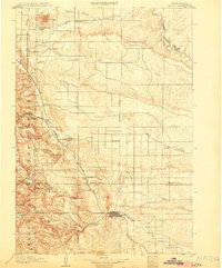
1903 · Rapid
USGS Topo · 1:125,000
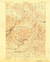
1915 · Sturgis
USGS Topo · 1:62,500
1916 · Deadwood
USGS Topo · 1:125,000
1953 · Blackhawk
USGS Topo · 1:24,000
1953 · Piedmont
USGS Topo · 1:24,000