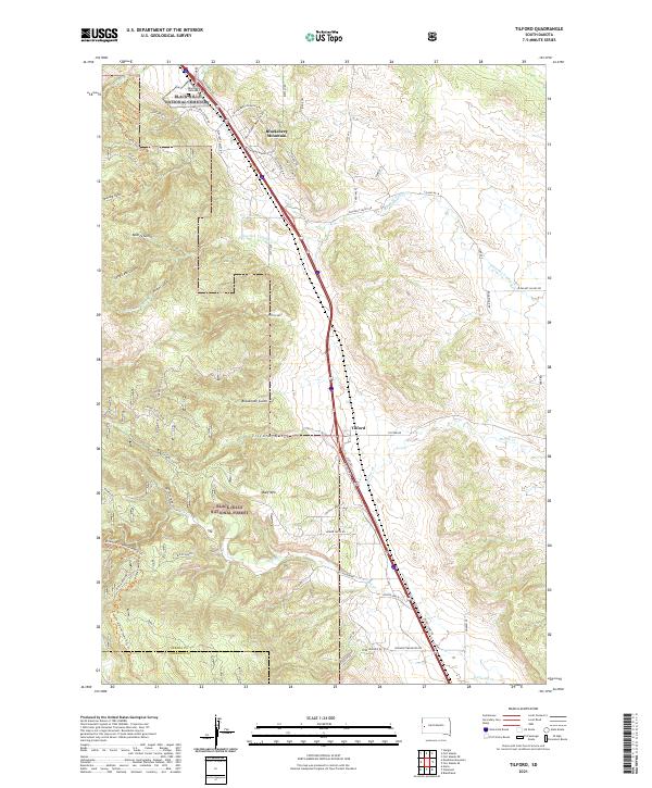
2021 Map of Tilford
USGS Topo · Published 2021About this map
Black Hills National Cemetery occupies the northern reaches of this map, established against a landscape of steep gulches and mountain peaks. The small settlement of Tilford serves as a central point along the Sturgis Rd corridor, where the terrain transitions from the heights of Blucksberg Mountain and Bald Mtn into the drainage basins of Elk Cr and Pleasant Valley Cr. This modern survey illustrates the proximity of residential development, seen in the winding roads like Blucksberg Dr, to the protected lands of the Black Hills National Forest. The local topography is defined by a series of dramatic drainages including Breakneck Gulch, Beatty Gulch, and Syndicate Gulch, which have historically dictated the placement of roads and homesteads. Local history is further traced through names like Sidney Stage Rd, a reminder of the region's early transportation networks.
Find a feature on this map
65 named features on this map. Tap any name to fly to it.
Don’t see what you’re looking for? This feature index may not catch every label — zoom into the map to look around manually.
Map Details
Editions of this 2021 Tilford Map
This is the sole edition of this map. No revisions or reprints were ever made.
Other maps of this area

1893 · Rapid
USGS Topo · 1:125,000

1894 · Deadwood
USGS Topo · 1:125,000

1898 · Rapid
USGS Topo · 1:125,000

1899 · Sturgis
USGS Topo · 1:62,500

1901 · Deadwood
USGS Topo · 1:125,000

1903 · Rapid
USGS Topo · 1:125,000

1915 · Sturgis
USGS Topo · 1:62,500

1916 · Deadwood
USGS Topo · 1:125,000

1953 · Blackhawk
USGS Topo · 1:24,000

1953 · Piedmont
USGS Topo · 1:24,000