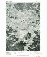
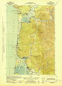
1975 Map of Tillamook NE
USGS Topo · Published 1980About this map
Tillamook serves as the focal point of this orthophotoquad, showing the city's grid and development during the mid-1970s. This aerial perspective highlights the significant transition between the urban layout of the town and the extensive agricultural and riverine landscape surrounding it. The Wilson River meanders across the upper half of the sheet, providing a clear view of the drainage patterns and floodplains that define the northern outskirts. To the east, the settlement of Fairview appears amidst a patchwork of fields, while Juno is situated to the northwest along the winding waterways. The Tillamook River anchors the southern portion of the map, carving through the valley floor. This survey is particularly useful for observing land use and dairy farm configurations in the Oregon coastal lowlands before late 20th-century expansions.
Find a feature on this map
5 named features on this map. Tap any name to fly to it.
Don’t see what you’re looking for? This feature index may not catch every label — zoom into the map to look around manually.
Map Details
Editions of this 1975 Tillamook NE Map
This is the sole edition of this map. No revisions or reprints were ever made.
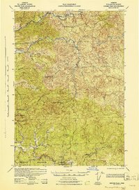
Other maps of this area
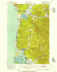
1937 · Nehalem
USGS Topo · 1:62,500

1937 · Enright
USGS Topo · 1:62,500

1941 · Enright
USGS Topo · 1:62,500
1942 · Ginger Peak
USGS Topo · 1:62,500
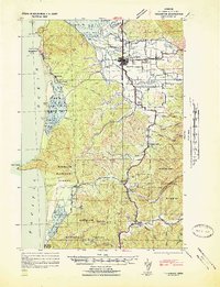
1942 · Tillamook
USGS Topo · 1:62,500
1943 · Nehalem
USGS Topo · 1:62,500

1948 · Vancouver
USGS Topo · 1:250,000

1950 · Vancouver
USGS Topo · 1:250,000

1950 · Vancouver
USGS Topo · 1:250,000
1955 · Blaine
USGS Topo · 1:62,500