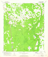
1962 Map of Tillman
USGS Topo · Published 1964About this map
Tillman and Switzerland serve as the primary nodes of settlement in this Jasper County landscape, deeply defined by the expansive wetlands of the Great Swamp and Green Swamp. The mapping of the early 1960s captures an area transitioning its transport infrastructure, evidenced by the Southern railroad line running parallel to an Old Railroad Grade and a network of named tracks like the Wagon Road and Club Road. Significant for family researchers, several rural congregations and burial sites are documented, including Great Swamp Ch, St Johns Ch, and the Arm Oak Cem. The presence of the Okatee Club and several Sandpits suggests a local economy tied to both land management and resource extraction. The complex hydrology, featuring the Switzerland Canal and numerous swamps like Hog Crawl Swp, illustrates the historical challenge of managing water in this coastal plain environment.
Find a feature on this map
47 named features on this map. Tap any name to fly to it.
Don’t see what you’re looking for? This feature index may not catch every label — zoom into the map to look around manually.
Map Details
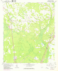
Editions of this 1962 Tillman Map
2 editions found
Other maps of this area

1918 · Yemassee
USGS Topo · 1:62,500

1919 · Pineland
USGS Topo · 1:62,500

1920 · Hardeeville
USGS Topo · 1:62,500

1920 · Okatie
USGS Topo · 1:62,500

1942 · Okatie
USGS Topo · 1:62,500

1943 · Pineland
USGS Topo · 1:62,500

1943 · Hardeeville
USGS Topo · 1:62,500

1943 · Yemassee
USGS Topo · 1:62,500

1947 · Savannah
USGS Topo · 1:250,000

1948 · Savannah
USGS Topo · 1:250,000