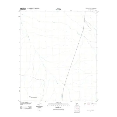
2011 Map of Tillotson Peak
USGS Topo · Published 2011About this map
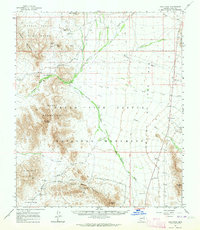
Tillotson Peak stands as a prominent desert landmark in this southwestern corner of Pima County, part of a landscape defined by dramatic topography and ephemeral drainage systems. The survey detail illustrates the Puerto Blanco Mountains and the rise of Pinkley Peak, marking the southern extent of this arid terrain. Water movement across the basin is evidenced by the branching networks of Alamo Wash and Cherioni Wash, which carve through the alluvial plains. This 2011 map documents a region largely shaped by its geology and the absence of dense modern development, providing a clear record of natural drainage patterns and mountain profiles within this specific section of the Sonoran desert environment.
Find a feature on this map
5 named features on this map. Tap any name to fly to it.
Don’t see what you’re looking for? This feature index may not catch every label — zoom into the map to look around manually.
Map Details
Editions of this 2011 Tillotson Peak Map
This is the sole edition of this map. No revisions or reprints were ever made.
Other maps of this area

1953 · Ajo
USGS Topo · 1:250,000
1954 · Sonoyta
USGS Topo · 1:250,000

1957 · Ajo
USGS Topo · 1:250,000

1958 · Ajo
USGS Topo · 1:250,000

1962 · Ajo
USGS Topo · 1:250,000

1963 · Ajo
USGS Topo · 1:250,000
1963 · Mt. Ajo
USGS Topo · 1:62,500
1963 · Lukeville
USGS Topo · 1:62,500
1963 · Kino Peak
USGS Topo · 1:62,500
1963 · Lukeville
USGS Topo · 1:250,000