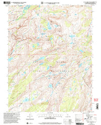
2001 Map of Tiltill Mountain
USGS Topo · Published 2004About this map
Yosemite National Park and the adjacent Emigrant Wilderness dominate this high-country landscape, where massive granite features and glacial basins define the topography. The Pacific Crest National Scenic Trail traverses the eastern edge of the quadrangle, crossing Jack Main Canyon near Wilma Lake. The central portion is characterized by a dense network of alpine water bodies, including Huckleberry Lake, Bear Lake, and the three-part Branigan Lake system.
Find a feature on this map
49 named features on this map. Tap any name to fly to it.
Don’t see what you’re looking for? This feature index may not catch every label — zoom into the map to look around manually.
Map Details
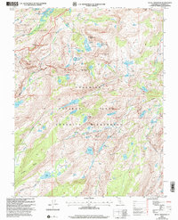
Editions of this 2001 Tiltill Mountain Map
2 editions found
Other maps of this area

1896 · Dardanelles
USGS Topo · 1:125,000

1897 · Yosemite
USGS Topo · 1:125,000

1898 · Dardanelles
USGS Topo · 1:125,000

1900 · Yosemite
USGS Topo · 1:125,000

1903 · Yosemite
USGS Topo · 1:125,000

1909 · Yosemite
USGS Topo · 1:125,000

1947 · Mariposa
USGS Topo · 1:250,000

1948 · Walker Lake
USGS Topo · 1:250,000

1948 · Mariposa
USGS Topo · 1:250,000

1956 · Pinecrest
USGS Topo · 1:62,500