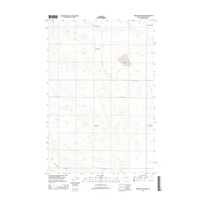
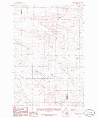
2014 Map of Timber Buttes North
USGS Topo · Published 2014About this map
Dry Lake and the Des Moines Lakes characterize this Musselshell County landscape, highlighting a region defined by seasonal water patterns and high-plains drainage. The map records the intricate network of ephemeral streams like Dry Cr and the meandering path of Pole Cr, which thread through the township divisions of T9N and T10N. Human presence is evidenced by specialized rural infrastructure, including Grazing District Rd and Timber Buttes Rd, reflecting the area's agricultural and livestock management foundations. The transition of land use is subtly noted by the presence of Golf Course Rd at the southern edge, suggesting modern recreational development amidst the traditional grazing lands of Montana's interior.
Find a feature on this map
11 named features on this map. Tap any name to fly to it.
Don’t see what you’re looking for? This feature index may not catch every label — zoom into the map to look around manually.
Map Details
Editions of this 2014 Timber Buttes North Map
This is the sole edition of this map. No revisions or reprints were ever made.
Other maps of this area

1954 · Roundup
USGS Topo · 1:250,000

1958 · Roundup
USGS Topo · 1:250,000
1979 · Roundup
USGS Topo · 1:100,000
1979 · Lavina NW
USGS Topo · 1:24,000
1979 · Timber Buttes South
USGS Topo · 1:24,000
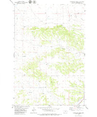
1979 · Horsethief Creek
USGS Topo · 1:24,000
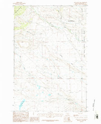
1986 · Devils Hole Lake
USGS Topo · 1:24,000
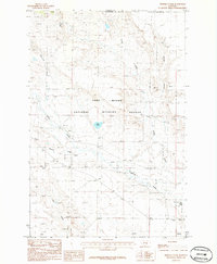
1986 · Pender Coulee
USGS Topo · 1:24,000
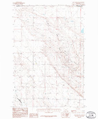
1986 · Lake Mason NW
USGS Topo · 1:24,000
1986 · Emory School
USGS Topo · 1:24,000