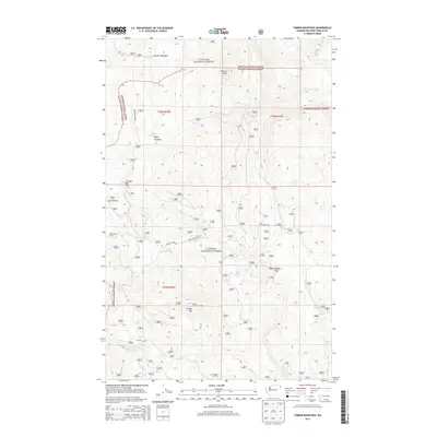
2014 Map of Timber Mountain
USGS Topo · Published 2014About this map
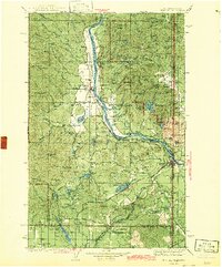
Colville National Forest and Kanisku National Forest converge across this high-elevation landscape in Pend Oreille County. The terrain is defined by prominent summits such as Granite Peak and Timber Mtn, the latter of which features the Timber Mountain Lookout. This 2014 survey documents a network of forest service routes, including Tacoma Divide Rd and Ruby Creek Rd, which provide access to secluded clearings like Lost Meadow and Rufus Meadows. The drainage pattern is complex, with headwaters for Ruby Cr, Little Ruby Cr, and Cusick Cr carving through the steep topography. The map illustrates the specialized infrastructure of modern forest management, showing the relationship between historic high points and the access roads that have developed around them since the early twentieth century.
Find a feature on this map
22 named features on this map. Tap any name to fly to it.
Don’t see what you’re looking for? This feature index may not catch every label — zoom into the map to look around manually.
Map Details
Editions of this 2014 Timber Mountain Map
This is the sole edition of this map. No revisions or reprints were ever made.
Other maps of this area
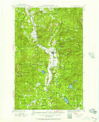
1927 · Chewelah
USGS Topo · 1:125,000
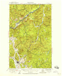
1929 · Colville
USGS Topo · 1:125,000
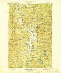
1930 · Chewelah
USGS Topo · 1:125,000
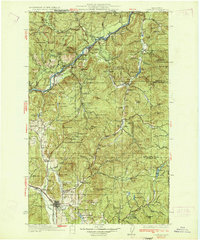
1933 · Colville
USGS Topo · 1:125,000
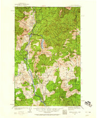
1934 · Metaline
USGS Topo · 1:125,000
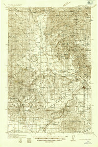
1936 · Newport
USGS Topo · 1:96,000
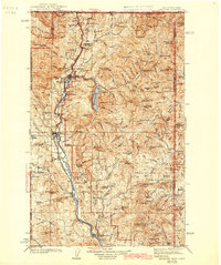
1942 · Metaline
USGS Topo · 1:125,000
1942 · Newport
USGS Topo · 1:125,000

1958 · Sandpoint
USGS Topo · 1:250,000

1963 · Sandpoint
USGS Topo · 1:250,000