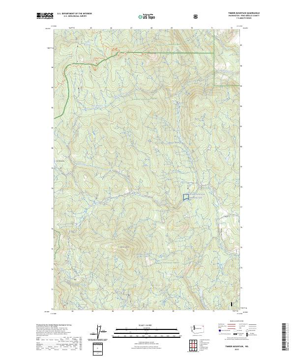
2023 Map of Timber Mountain
USGS Topo · Published 2023About this map
Colville National Forest and Kaniksu National Forest converge in this high-elevation corner of Pend Oreille County, where timber management and military training define the landscape. The Cusick Survival Training Site occupies a significant portion of the eastern terrain, highlighting the region's role in specialized wilderness operations. Peaks like Timber Mtn and Granite Peak overlook a dense network of forest service roads, including Ruby Creek/2700 and Tacoma Creek/2600, which provide access to remote clearings such as Granite Meadows and Rufus Meadows.
Find a feature on this map
26 named features on this map. Tap any name to fly to it.
Don’t see what you’re looking for? This feature index may not catch every label — zoom into the map to look around manually.
Map Details
Editions of this 2023 Timber Mountain Map
This is the sole edition of this map. No revisions or reprints were ever made.
Other maps of this area

1927 · Chewelah
USGS Topo · 1:125,000

1929 · Colville
USGS Topo · 1:125,000

1930 · Chewelah
USGS Topo · 1:125,000

1933 · Colville
USGS Topo · 1:125,000

1934 · Metaline
USGS Topo · 1:125,000

1936 · Newport
USGS Topo · 1:96,000

1942 · Metaline
USGS Topo · 1:125,000

1942 · Newport
USGS Topo · 1:125,000

1958 · Sandpoint
USGS Topo · 1:250,000

1963 · Sandpoint
USGS Topo · 1:250,000