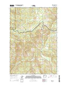
2014 Map of Timber
USGS Topo · Published 2014About this map
Timber and Glenwood anchor this 2014 study of the forested highlands along the boundary of Tillamook Co and Washington Co. The landscape is defined by its complex drainage network, where the Nehalem River flows through the northern reaches while Gales Cr and its numerous tributaries, including Finger Cr, carve the southern terrain. This modern topographic view preserves the names of small mountain passages and local water bodies that have supported the region's timber-based economy for generations.
Find a feature on this map
42 named features on this map. Tap any name to fly to it.
Don’t see what you’re looking for? This feature index may not catch every label — zoom into the map to look around manually.
Map Details
Editions of this 2014 Timber Map
This is the sole edition of this map. No revisions or reprints were ever made.
Other maps of this area

1940 · Vernonia
USGS Topo · 1:62,500

1941 · Keasey
USGS Topo · 1:62,500

1941 · Timber
USGS Topo · 1:62,500

1941 · Gales Creek
USGS Topo · 1:62,500

1943 · Vernonia
USGS Topo · 1:62,500

1943 · Keasey
USGS Topo · 1:62,500

1948 · Vancouver
USGS Topo · 1:250,000

1950 · Vancouver
USGS Topo · 1:250,000

1950 · Vancouver
USGS Topo · 1:250,000

1955 · Timber
USGS Topo · 1:62,500