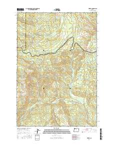
2017 Map of Timber
USGS Topo · Published 2017About this map
The settlement of Timber serves as a focal point for this 2017 survey of the northern Coast Range, where the headwaters of the Nehalem River and Gales Creek diverge. The map documents a heavily dissected landscape defined by its network of forest drainages, including Lousignont Creek and Beaver Creek. While the community of Glenwood occupies the southeastern corner, much of the area is defined by its topographic relief and recreational connectivity. Long-established routes like the Step Creek Trail and Gales Creek Trail wind through the hills, providing access to landmarks such as Round Top. The presence of the Sunset Tunnel and the managed waters of the Bauer Reservoir indicate the ongoing human engineering required to navigate and utilize this timber-rich terrain. Family and place names are preserved through features like Hudleson Spring and several creek-named forest roads, offering a detailed view of the region's modern layout.
Find a feature on this map
53 named features on this map. Tap any name to fly to it.
Don’t see what you’re looking for? This feature index may not catch every label — zoom into the map to look around manually.
Map Details
Editions of this 2017 Timber Map
This is the sole edition of this map. No revisions or reprints were ever made.
Other maps of this area

1940 · Vernonia
USGS Topo · 1:62,500

1941 · Keasey
USGS Topo · 1:62,500

1941 · Timber
USGS Topo · 1:62,500

1941 · Gales Creek
USGS Topo · 1:62,500

1943 · Vernonia
USGS Topo · 1:62,500

1943 · Keasey
USGS Topo · 1:62,500

1948 · Vancouver
USGS Topo · 1:250,000

1950 · Vancouver
USGS Topo · 1:250,000

1950 · Vancouver
USGS Topo · 1:250,000

1955 · Timber
USGS Topo · 1:62,500