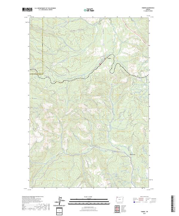
2023 Map of Timber
USGS Topo · Published 2023About this map
The community of Timber and the settlement at Glenwood anchor this survey of the northern Oregon Coast Range, where the drainage systems of the Nehalem River and Gales Creek converge. The landscape is defined by the sharp transition between watershed systems, including the headwaters of North Fork Gales Creek and North Fork Lousignont Creek. High points like Round Top and Wildcat Mountain overlook a complex network of logging and access roads such as NW Cochran Rd and Bell Camp Rd, illustrating the region's long-standing reliance on timber management and forest access.
Find a feature on this map
48 named features on this map. Tap any name to fly to it.
Don’t see what you’re looking for? This feature index may not catch every label — zoom into the map to look around manually.
Map Details
Editions of this 2023 Timber Map
This is the sole edition of this map. No revisions or reprints were ever made.
Other maps of this area

1940 · Vernonia
USGS Topo · 1:62,500

1941 · Keasey
USGS Topo · 1:62,500

1941 · Timber
USGS Topo · 1:62,500

1941 · Gales Creek
USGS Topo · 1:62,500

1943 · Vernonia
USGS Topo · 1:62,500

1943 · Keasey
USGS Topo · 1:62,500

1948 · Vancouver
USGS Topo · 1:250,000

1950 · Vancouver
USGS Topo · 1:250,000

1950 · Vancouver
USGS Topo · 1:250,000

1955 · Timber
USGS Topo · 1:62,500