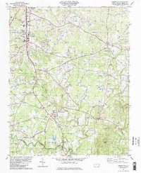
1981 Map of Timberlake
USGS Topo · Published 1982About this map
Timberlake and the adjacent settlement of Helena serve as the central hubs for this rural landscape in Person County, where the Norfolk and Western railroad corridor dictates the placement of early industry and community life. The landscape is defined by the winding paths of the North Flat River and South Flat River, with several rural congregations and burying grounds anchoring the local geography. Researchers can find numerous landmarks of spiritual and community significance, including Flat River Ch, New Hope Ch, and the high point at Mt Tirzah. South of the town center, Helena Sch stands near the tracks, illustrating the historical development of small-town infrastructure. The presence of a Landing Strip and a significant Pipeline corridor reflects the 20th-century modernization of this Piedmont terrain, while several family-named cemeteries like Burchwood Cem provide essential data for genealogical study.
Find a feature on this map
33 named features on this map. Tap any name to fly to it.
Don’t see what you’re looking for? This feature index may not catch every label — zoom into the map to look around manually.
Map Details
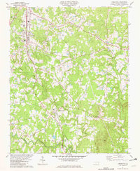
Editions of this 1981 Timberlake Map
2 editions found
Other maps of this area

1943 · Roxboro
USGS Topo · 1:62,500

1951 · Durham North
USGS Topo · 1:62,500

1953 · Greensboro
USGS Topo · 1:250,000

1954 · Greensboro
USGS Topo · 1:250,000

1962 · Greensboro
USGS Topo · 1:250,000

1966 · Greensboro
USGS Topo · 1:250,000

1968 · Caldwell
USGS Topo · 1:24,000

1968 · Hurdle Mills
USGS Topo · 1:24,000
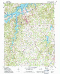
1968 · Olive Hill
USGS Topo · 1:24,000
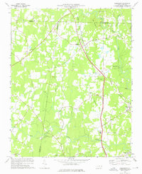
1974 · Rougemont
USGS Topo · 1:24,000