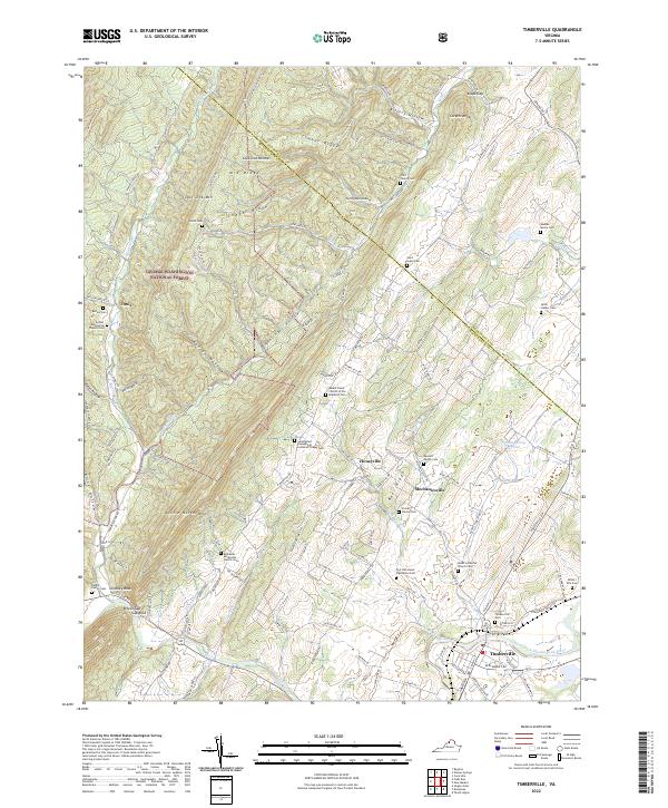
2022 Map of Timberville
USGS Topo · Published 2022About this map
Timberville sits at the convergence of the North Fork Shenandoah River and Fort Run, serving as a focal point for the agricultural and mountain communities of the Shenandoah Valley. This region is characterized by a high density of ancestral burial sites, including the Pifer Family Cem, Messick Family Cem, and Stoner Family Cem, reflecting generations of family-held lands. The proximity of the George Washington National Forest to the west influences the local geography, with ridges like Little North Mtn and Baer Ridge framing the valley floor.
Find a feature on this map
126 named features on this map. Tap any name to fly to it.
Don’t see what you’re looking for? This feature index may not catch every label — zoom into the map to look around manually.
Map Details
Editions of this 2022 Timberville Map
This is the sole edition of this map. No revisions or reprints were ever made.
Other maps of this area

1892 · Woodstock
USGS Topo · 1:125,000

1921 · Orkney Springs
USGS Topo · 1:48,000

1923 · Orkney Springs
USGS Topo · 1:62,500

1923 · Edinburg
USGS Topo · 1:62,500

1940 · Orkney Springs
USGS Topo · 1:48,000

1942 · Mt Jackson
USGS Topo · 1:62,500

1943 · Orkney Springs
USGS Topo · 1:62,500

1944 · Orkney Springs
USGS Topo · 1:62,500

1946 · Mt Jackson
USGS Topo · 1:62,500

1947 · Mt Jackson
USGS Topo · 1:62,500