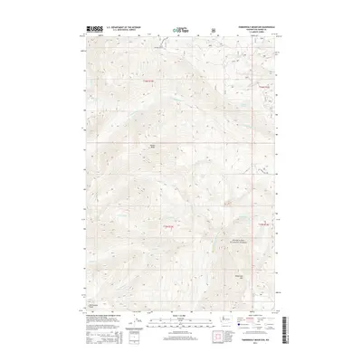
2014 Map of Timberwolf Mountain
USGS Topo · Published 2014About this map
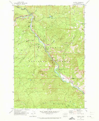
Snoqualmie National Forest dominates this section of Yakima County, defined by high peaks and an intricate network of mountain drainages. Elevated features like Timberwolf Mtn and Nelson Butte anchor the local topography, with the Clover Springs Lookout serving as a high-point landmark overlooking the headwaters of several creeks. The map shows the branching paths of the N Fork Rattlesnake Cr and Hindoo Cr, illustrating the rugged water system that feeds the larger Rattlesnake drainage. Access into this high-elevation landscape is provided by Forest Service routes including Nat For Dev Rd 1600, which winds through the northwestern corner near Clover Spring. The presence of small water bodies like Richmond Lake and Buck Lake amidst the ridgelines highlights the area's natural isolation and its role as a protected wilderness area.
Find a feature on this map
25 named features on this map. Tap any name to fly to it.
Don’t see what you’re looking for? This feature index may not catch every label — zoom into the map to look around manually.
Map Details
Editions of this 2014 Timberwolf Mountain Map
This is the sole edition of this map. No revisions or reprints were ever made.
Other maps of this area
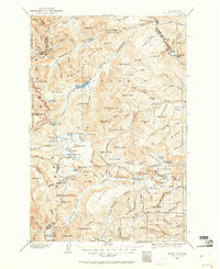
1902 · Mount Aix
USGS Topo · 1:125,000
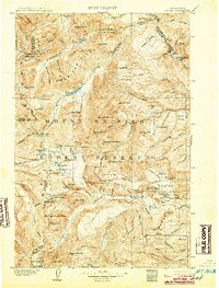
1904 · Mt Aix
USGS Topo · 1:125,000

1950 · Yakima
USGS Topo · 1:250,000

1958 · Yakima
USGS Topo · 1:250,000
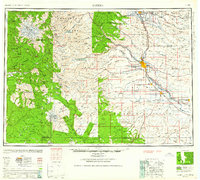
1961 · Yakima
USGS Topo · 1:250,000
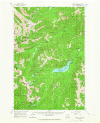
1962 · Bumping Lake
USGS Topo · 1:62,500
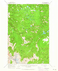
1962 · White Pass
USGS Topo · 1:62,500
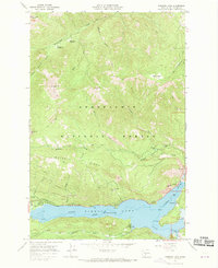
1967 · Rimrock Lake
USGS Topo · 1:24,000
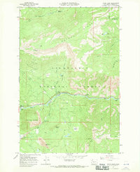
1967 · Tieton Basin
USGS Topo · 1:24,000
1971 · Cliffdell
USGS Topo · 1:24,000