Loading...
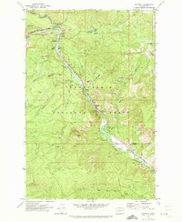
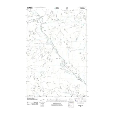
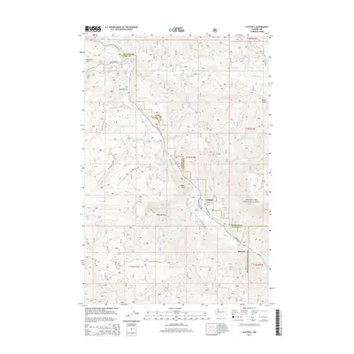
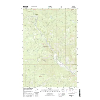
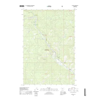
Loading map...1971 Map of Cliffdell
USGS Topo · Published 1973About this map
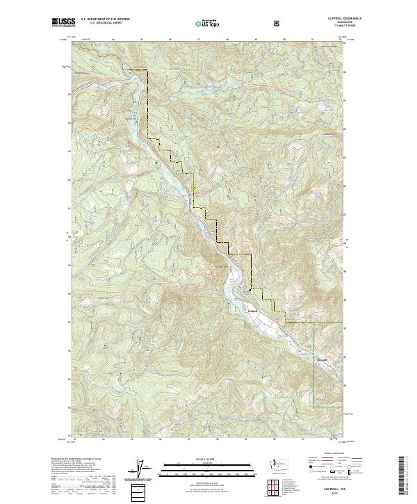
The Naches River winds through the heart of the Snoqualmie National Forest, serving as a central corridor for recreation and early 1970s mountain life. The small community of Cliffdell anchors this portion of the valley, supported by neighboring Pinecliff to the southeast. The landscape is defined by its verticality and geological features, from the massive Edgar Rock and Natural Arch overlooking the river to the subterranean depths of Boulder Cave.
Find a feature on this map
49 named features on this map. Tap any name to fly to it.
Don’t see what you’re looking for? This feature index may not catch every label — zoom into the map to look around manually.
Map Details
Date Portrayed1971
Date Published1973
PublisherU.S. Geological Survey
Map TypeTopographic
Scale1:24,000
Physical Dimensions22.1 x 26.9 inches
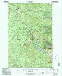
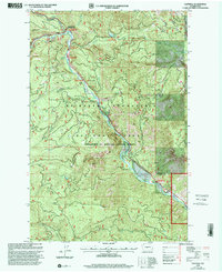
Editions of this 1971 Cliffdell Map
2 editions found
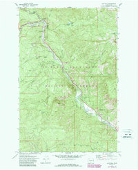
Historical Maps of Pine Cliffs Through Time
8 maps found
Featured Locations
Source Details
SourceU.S. Geological Survey
CopyrightPublic Domain