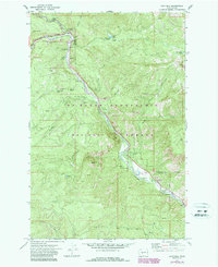
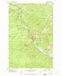
1971 Map of Cliffdell
USGS Topo · Published 1987About this map
The Naches River canyon serves as the primary artery for travel and settlement in this portion of the Mt Baker-Snoqualmie National Forest. Following the path of Route 410, small riverside communities like Cliffdell and Pinecliff appear alongside numerous recreational sites, including Camp Roganunda, Mountain Air Camp, and the Christian Camp. The geography is defined by the convergence of the Little Naches River and Bumping River, creating a network of riparian flats such as Halfway Flat and Sawmill Flat. Genealogy interests are served by the presence of Peterson Cemetery near the riverbank. Dramatic terrain features including Edgar Rock, Boulder Cave, and Devils Slide rise sharply from the valley floor, while several borrow pits and a Gravel Pit indicate the local maintenance and construction needs of the forest road system during this era.
Find a feature on this map
47 named features on this map. Tap any name to fly to it.
Don’t see what you’re looking for? This feature index may not catch every label — zoom into the map to look around manually.
Map Details
Editions of this 1971 Cliffdell Map
2 editions found
Other maps of this area

1897 · Mount Stuart
USGS Topo · 1:125,000

1899 · Ellensburg
USGS Topo · 1:125,000

1901 · Ellensburg
USGS Topo · 1:125,000

1901 · Snoqualmie Pass
USGS Topo · 1:125,000

1902 · Mount Aix
USGS Topo · 1:125,000

1902 · Mount Stuart
USGS Topo · 1:125,000

1903 · Snoqualmie
USGS Topo · 1:125,000

1904 · Mt Aix
USGS Topo · 1:125,000

1950 · Yakima
USGS Topo · 1:250,000

1957 · Wenatchee
USGS Topo · 1:250,000