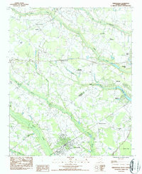
1986 Map of Timmonsville
USGS Topo · Published 1987About this map
Timmonsville anchors the southern portion of this mid-1980s landscape, serving as a hub where the CSX rail line and local commerce meet near Johnson High Sch. The surrounding terrain is defined by an intricate network of wetlands, including the sprawling Sparrow Swamp and Middle Swamp, which separate the various crossroads communities that characterize this part of the Pee Dee region. The map reveals a high density of rural institutions, such as Lake Swamp Ch and New Providence Ch, alongside several family cemeteries including Garner Cem and Anderson Cem. An Old RR Grade south of the main swamp suggests a shifting transportation landscape. To the north, Jeffries Creek meanders through the countryside near Syracuse, while Muldrow Mill stands as a local landmark along the eastern edge, highlighting the area's agricultural and industrial heritage.
Find a feature on this map
43 named features on this map. Tap any name to fly to it.
Don’t see what you’re looking for? This feature index may not catch every label — zoom into the map to look around manually.
Map Details
Editions of this 1986 Timmonsville Map
This is the sole edition of this map. No revisions or reprints were ever made.
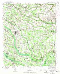
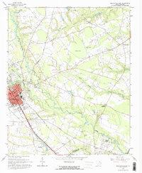
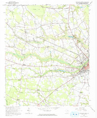
Other maps of this area
1940 · Florence West
USGS Topo · 1:62,500

1941 · Spartanburg
USGS Topo · 1:250,000

1945 · Florence West
USGS Topo · 1:62,500

1953 · Florence
USGS Topo · 1:250,000

1953 · Spartanburg
USGS Topo · 1:250,000

1954 · Florence
USGS Topo · 1:250,000

1960 · Spartanburg
USGS Topo · 1:250,000

1963 · Spartanburg
USGS Topo · 1:250,000
1963 · Darlington East
USGS Topo · 1:24,000
1963 · Darlington West
USGS Topo · 1:24,000