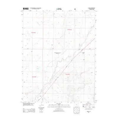
2013 Map of Timpas
USGS Topo · Published 2013About this map
Comanche National Grassland dominates this high plains landscape in Otero County, where the semi-arid terrain is defined by ephemeral drainage systems like W Dry Cr and S Dry Cr. The small community of Timpas serves as a primary reference point along Us HWY 350, which cuts diagonally across the quadrangle. Local water management is evident at Brown Reservoir, a critical feature for ranching and land use in this arid environment. The map details the drainage network of Timpas Cr, which is fed by several arroyos including Lone Tree Arroyo and Hoe Ranch Arroyo. Genealogists and local historians can locate the Timpas Cem near the townsite, while the settlement of Ayer sits further southwest along the highway and rail corridor, marking a point of former significance in this sparsely populated region of southeastern Colorado.
Find a feature on this map
15 named features on this map. Tap any name to fly to it.
Don’t see what you’re looking for? This feature index may not catch every label — zoom into the map to look around manually.
Map Details
Editions of this 2013 Timpas Map
This is the sole edition of this map. No revisions or reprints were ever made.
Other maps of this area
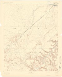
1891 · Timpas
USGS Topo · 1:125,000
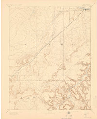
1894 · Timpas
USGS Topo · 1:125,000
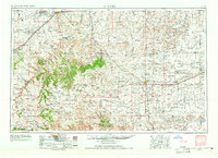
1955 · La Junta
USGS Topo · 1:250,000
1958 · La Junta
USGS Topo · 1:250,000
1965 · La Junta SW
USGS Topo · 1:24,000
1966 · Hawley
USGS Topo · 1:24,000
1968 · La Junta
USGS Topo · 1:250,000
1972 · Timpas NE
USGS Topo · 1:24,000
1972 · Packers Gap
USGS Topo · 1:24,000
1972 · Timpas SW
USGS Topo · 1:24,000