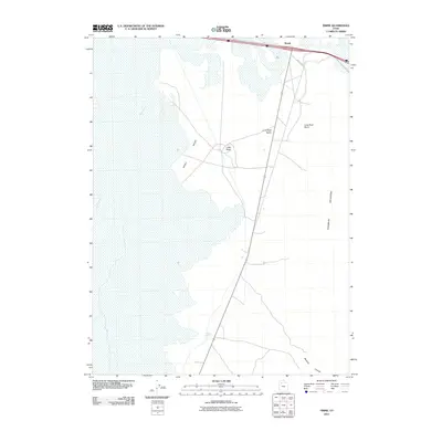
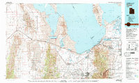
2011 Map of Timpie
USGS Topo · Published 2011About this map
Skull Valley dominates this landscape, where the flat, expansive basin floor meets the steep western slopes of the Stansbury Mountains. The settlement of Timpie sits at the northern edge of the quadrangle, serving as a critical junction for transportation and water access in an otherwise arid environment. The presence of Delle Springs and Muskrat Spring highlights the vital importance of natural water sources for maintaining livestock or early settlements in the Great Salt Lake desert periphery. This region is defined by distinct geologic features like Lone Rock, which stands out as a landmark within the Lone Rock Basin. The map also traces specialized local routes such as Amax Rd and Mistway Rd, which cut across the desert floor toward the mountains and canyon passes like Muskrat Canyon.
Find a feature on this map
11 named features on this map. Tap any name to fly to it.
Don’t see what you’re looking for? This feature index may not catch every label — zoom into the map to look around manually.
Map Details
Editions of this 2011 Timpie Map
This is the sole edition of this map. No revisions or reprints were ever made.
Other maps of this area
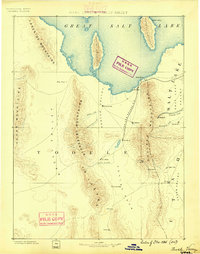
1885 · Tooele Valley
USGS Topo · 1:250,000

1953 · Tooele
USGS Topo · 1:250,000
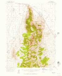
1955 · Timpie
USGS Topo · 1:62,500

1955 · Tooele
USGS Topo · 1:250,000
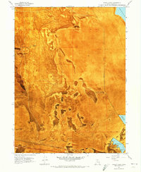
1968 · Poverty Point
USGS Topo · 1:24,000
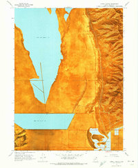
1968 · Corral Canyon
USGS Topo · 1:24,000
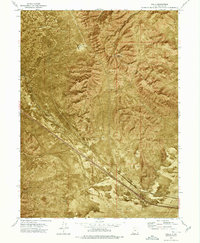
1973 · Delle
USGS Topo · 1:24,000
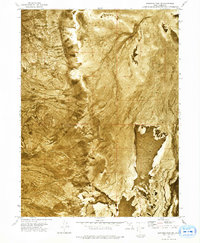
1973 · Hastings Pass NE
USGS Topo · 1:24,000
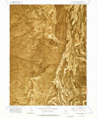
1973 · Hastings Pass SE
USGS Topo · 1:24,000
1979 · Tooele
USGS Topo · 1:100,000