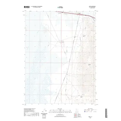
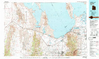
2020 Map of Timpie
USGS Topo · Published 2020About this map
Skull Valley dominates the western half of this Tooele County landscape, where the salt flats and wetlands of Stansbury Bay meet the rising slopes of the Stansbury Mountains. The area around Timpie is defined by its transition from the Great Salt Lake shoreline to the desert floor, marked by essential water sources like Big Spring and Delle Springs. These springs were critical waypoints in a landscape historically defined by its scarcity of water, supporting both the regional livestock economy and early transportation routes. Local utility and infrastructure are evident through the paths of Powerline Rd and Aquaduct Rd, while the eastern terrain grows more complex around Muskrat Canyon. The presence of several basins, including Lone Rock Basin and Long Rock Basin, highlights the rugged geological character of the valley floor before it ascends into the high peaks of the eastern range.
Find a feature on this map
21 named features on this map. Tap any name to fly to it.
Don’t see what you’re looking for? This feature index may not catch every label — zoom into the map to look around manually.
Map Details
Editions of this 2020 Timpie Map
This is the sole edition of this map. No revisions or reprints were ever made.
Other maps of this area
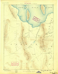
1885 · Tooele Valley
USGS Topo · 1:250,000

1953 · Tooele
USGS Topo · 1:250,000
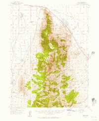
1955 · Timpie
USGS Topo · 1:62,500

1955 · Tooele
USGS Topo · 1:250,000
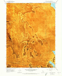
1968 · Poverty Point
USGS Topo · 1:24,000
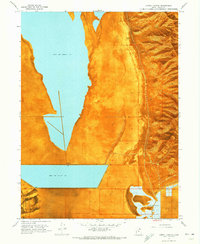
1968 · Corral Canyon
USGS Topo · 1:24,000
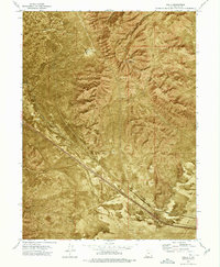
1973 · Delle
USGS Topo · 1:24,000
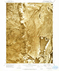
1973 · Hastings Pass NE
USGS Topo · 1:24,000
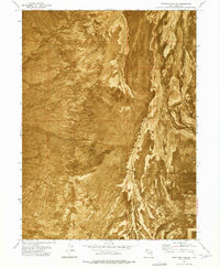
1973 · Hastings Pass SE
USGS Topo · 1:24,000
1979 · Tooele
USGS Topo · 1:100,000