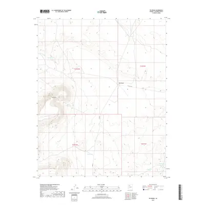
2018 Map of Tin House
USGS Topo · Published 2018About this map
Tin House sits at a remote high-desert crossroads in Coconino County, serving as a landmark for the sparse ranching activity that characterizes this part of northern Arizona. The landscape is defined by its water management infrastructure, where several tanks like Cajon Tank and Little Baldy Tank collect seasonal runoff for livestock. Topographical relief is provided by Long Point, which rises prominently above the surrounding plains. The presence of Red Hill Ranch and the intersecting paths of Willaha Co Rd and Espee Rd trace the thin network of human activity in this arid environment. Natural drainage features, including Farm Dam Draw and Monument Wash, underscore the importance of water flow in a region where Rincon Tank and Paul Moore Tank represent critical resources for the local cattle industry.
Find a feature on this map
16 named features on this map. Tap any name to fly to it.
Don’t see what you’re looking for? This feature index may not catch every label — zoom into the map to look around manually.
Map Details
Editions of this 2018 Tin House Map
This is the sole edition of this map. No revisions or reprints were ever made.
Other maps of this area
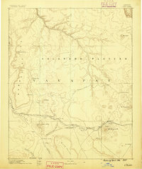
1886 · Chino
USGS Topo · 1:250,000
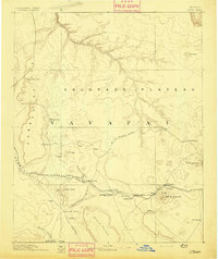
1891 · Chino
USGS Topo · 1:250,000
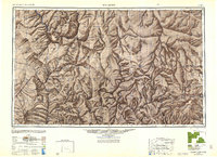
1948 · Williams
USGS Topo · 1:250,000
1954 · Williams
USGS Topo · 1:250,000
1956 · Williams
USGS Topo · 1:250,000
1960 · Williams
USGS Topo · 1:250,000
1961 · Williams
USGS Topo · 1:250,000
1979 · Little Harpo Canyon
USGS Topo · 1:24,000
1980 · Hazen Hole Tank
USGS Topo · 1:24,000
1980 · Markham Dam
USGS Topo · 1:24,000