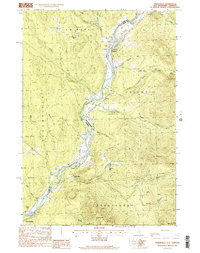
1988 Map of Tinkerville
USGS Topo · Published 1988About this map
The Connecticut River defines the border between New Hampshire and Vermont in this late 20th-century survey, carving a path through the northern Appalachians. Small settlements and family landmarks anchor the riverbank, including the eponymous Tinkerville and the village of Columbia. Cultural history is noted through features like a Cem and a historic Turntable at North Stratford, signaling the area's rail heritage. The landscape is heavily wooded and mountainous, rising from the river valley to heights like Lightning Mtn and Mt Pleasant. While predominantly rural, the presence of an Airport, a Quarry, and several gravel operations near Lemington point to the local resource-based economy. Numerous brooks, such as Blodgett Brook and Harvey Branch, drain the steep terrain of Columbia and Bloomfield townships.
Find a feature on this map
48 named features on this map. Tap any name to fly to it.
Don’t see what you’re looking for? This feature index may not catch every label — zoom into the map to look around manually.
Map Details
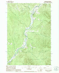
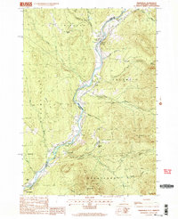
Editions of this 1988 Tinkerville Map
3 editions found
Other maps of this area

1920 · Guildhall
USGS Topo · 1:62,500

1929 · Averill
USGS Topo · 1:62,500

1930 · Percy
USGS Topo · 1:62,500

1930 · Dixville
USGS Topo · 1:62,500

1931 · Guildhall
USGS Topo · 1:48,000

1933 · Guildhall
USGS Topo · 1:48,000

1933 · Dixville
USGS Topo · 1:62,500

1934 · Percy
USGS Topo · 1:62,500

1934 · Dixville
USGS Topo · 1:62,500

1937 · Guildhall
USGS Topo · 1:62,500