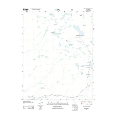
2012 Map of Tioga Pass
USGS Topo · Published 2012About this map
Yosemite National Park dominates this high-elevation landscape, where the Sierra Nevada's crest creates a dramatic watershed for the Tuolumne River and the Dana Fork. At the southern edge, Tuolumne Meadows Lodge and the historic Soda Springs serve as touchstones for mountaineers and visitors entering the park. The geography is defined by its glacial heritage, clearly visible in the Conness Glacier beneath the towering Mount Conness, and the numerous alpine basins holding the McCabe Lakes and Young Lakes.
Find a feature on this map
75 named features on this map. Tap any name to fly to it.
Don’t see what you’re looking for? This feature index may not catch every label — zoom into the map to look around manually.
Map Details
Editions of this 2012 Tioga Pass Map
This is the sole edition of this map. No revisions or reprints were ever made.
Other maps of this area

1901 · Mt. Lyell
USGS Topo · 1:125,000

1909 · Bridgeport
USGS Topo · 1:125,000

1911 · Bridgeport
USGS Topo · 1:125,000

1920 · Bridgeport
USGS Topo · 1:125,000

1947 · Mariposa
USGS Topo · 1:250,000

1948 · Walker Lake
USGS Topo · 1:250,000

1948 · Mariposa
USGS Topo · 1:250,000

1953 · Mono Craters
USGS Topo · 1:62,500

1956 · Matterhorn Peak
USGS Topo · 1:62,500

1956 · Tuolumne Meadows
USGS Topo · 1:62,500