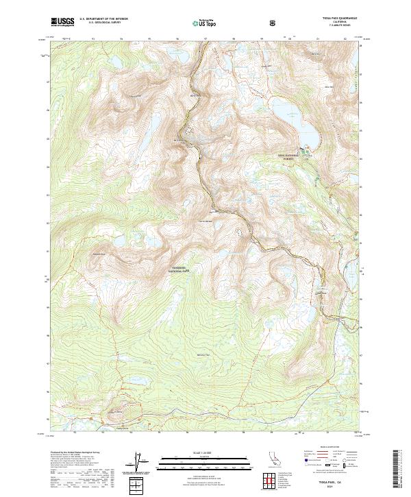
2021 Map of Tioga Pass
USGS Topo · Published 2021About this map
The High Sierra divide at Tioga Pass forms the focal point of this 2021 study, where the boundary between Yosemite National Park and Inyo National Forest follows the jagged crest of the Sierra Nevada. The landscape is dominated by granite landmarks such as Mt Conness, White Mtn, and the distinctive glacial formation of Lembert Dome. This high-altitude wilderness is characterized by a dense network of alpine water bodies, including Saddlebag Lake, McCabe Lakes, and the Gaylor Lakes. A legacy of high-country exploration is evident in the numerous established routes, such as the 20 Lakes Basin Loop Trl and the Shepherd Crest Trl. Notable human footprints in this challenging environment include the historic Hess Mine Trl near Dore Cliff and the modern corridor of Tioga Pass Rd winding through Dana Meadows.
Find a feature on this map
75 named features on this map. Tap any name to fly to it.
Don’t see what you’re looking for? This feature index may not catch every label — zoom into the map to look around manually.
Map Details
Editions of this 2021 Tioga Pass Map
This is the sole edition of this map. No revisions or reprints were ever made.
Other maps of this area

1901 · Mt. Lyell
USGS Topo · 1:125,000

1909 · Bridgeport
USGS Topo · 1:125,000

1911 · Bridgeport
USGS Topo · 1:125,000

1920 · Bridgeport
USGS Topo · 1:125,000

1947 · Mariposa
USGS Topo · 1:250,000

1948 · Walker Lake
USGS Topo · 1:250,000

1948 · Mariposa
USGS Topo · 1:250,000

1953 · Mono Craters
USGS Topo · 1:62,500

1956 · Matterhorn Peak
USGS Topo · 1:62,500

1956 · Tuolumne Meadows
USGS Topo · 1:62,500