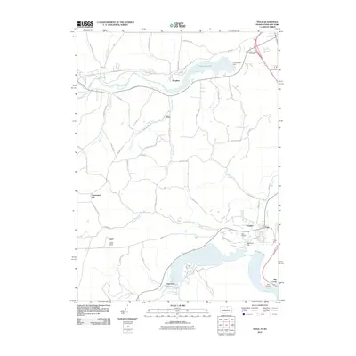
2010 Map of Tioga
USGS Topo · Published 2010About this map
Lawrenceville and Tioga anchor this 2010 depiction of the Tioga River valley, showing a landscape defined by significant water management and regional infrastructure. The northern border features Cowanesque Lake, formed by the Cowanesque Dam, while the southern portion is dominated by the sprawling Hammond Lake and the Hammond Dam complex. These reservoirs illustrate the modern hydrographic character of the region, significantly altering the original paths of the Cowanesque River and Crooked Creek.
Find a feature on this map
63 named features on this map. Tap any name to fly to it.
Don’t see what you’re looking for? This feature index may not catch every label — zoom into the map to look around manually.
Map Details
Editions of this 2010 Tioga Map
This is the sole edition of this map. No revisions or reprints were ever made.
Other maps of this area

1900 · Tioga
USGS Topo · 1:62,500

1900 · Elkland
USGS Topo · 1:62,500

1902 · Tioga
USGS Topo · 1:62,500

1914 · Corning
USGS Topo · 1:62,500

1924 · Woodhull
USGS Topo · 1:48,000

1926 · Woodhull
USGS Topo · 1:62,500

1944 · Woodhull
USGS Topo · 1:62,500

1944 · Corning
USGS Topo · 1:62,500

1950 · Elmira
USGS Topo · 1:250,000
1953 · Borden
USGS Topo · 1:24,000