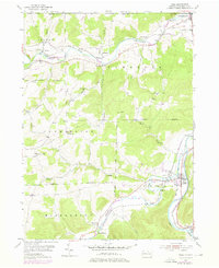
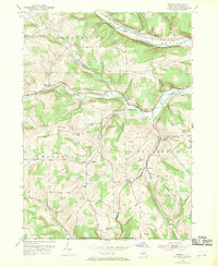
1954 Map of Tioga
USGS Topo · Published 1976About this map
The confluence of the Cowanesque River and Tioga River defines this northern Pennsylvania landscape during a period of transition for regional transportation. Rail infrastructure is prominent, featuring the Penn Central and Erie-Lackawanna lines which follow the river valleys, connecting settlements like Nelson and Tioga. The map reveals the layout of rural communities and their social foundations, from the Tompkins Ch to several family-named burial sites including Dailey Cem and the Lawrenceville Cem. The presence of numerous pumping stations, such as the Palmer Pumping Sta and Boom Pumping Sta, along with extensive pipelines, indicates the area's role as a corridor for energy infrastructure. In the south, Crooked Creek winds through Middlebury, passing through the small community of Hammond before joining the larger river system near Brooklyn.
Find a feature on this map
49 named features on this map. Tap any name to fly to it.
Don’t see what you’re looking for? This feature index may not catch every label — zoom into the map to look around manually.
Map Details
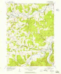
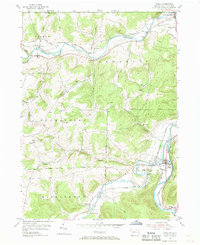
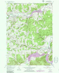
Editions of this 1954 Tioga Map
4 editions found
Other maps of this area

1900 · Tioga
USGS Topo · 1:62,500

1900 · Elkland
USGS Topo · 1:62,500

1902 · Tioga
USGS Topo · 1:62,500

1914 · Corning
USGS Topo · 1:62,500

1924 · Woodhull
USGS Topo · 1:48,000

1926 · Woodhull
USGS Topo · 1:62,500

1944 · Woodhull
USGS Topo · 1:62,500

1944 · Corning
USGS Topo · 1:62,500

1950 · Elmira
USGS Topo · 1:250,000
1953 · Borden
USGS Topo · 1:24,000