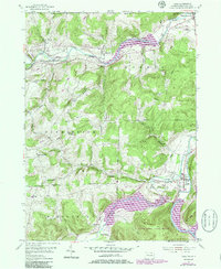
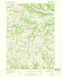
1954 Map of Tioga
USGS Topo · Published 1986About this map
The Tioga River and Cowanesque River valleys define the landscape of this northern Pennsylvania region during a period of significant hydrological change. Revisions from the 1980s illustrate the impact of flood control projects, showing the expansion of Cowanesque Lake and the Tioga Dam, which created the Tioga Reservoir and the Crooked Hammond Reservoir. These major water bodies transformed the valley floor near settlements like Tioga, Nelson, and Tompkins.
Find a feature on this map
47 named features on this map. Tap any name to fly to it.
Don’t see what you’re looking for? This feature index may not catch every label — zoom into the map to look around manually.
Map Details
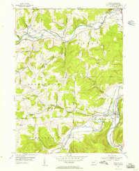
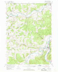
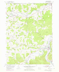
Editions of this 1954 Tioga Map
4 editions found
Other maps of this area

1900 · Tioga
USGS Topo · 1:62,500

1900 · Elkland
USGS Topo · 1:62,500

1902 · Tioga
USGS Topo · 1:62,500

1914 · Corning
USGS Topo · 1:62,500

1924 · Woodhull
USGS Topo · 1:48,000

1926 · Woodhull
USGS Topo · 1:62,500

1944 · Woodhull
USGS Topo · 1:62,500

1944 · Corning
USGS Topo · 1:62,500

1950 · Elmira
USGS Topo · 1:250,000
1953 · Borden
USGS Topo · 1:24,000