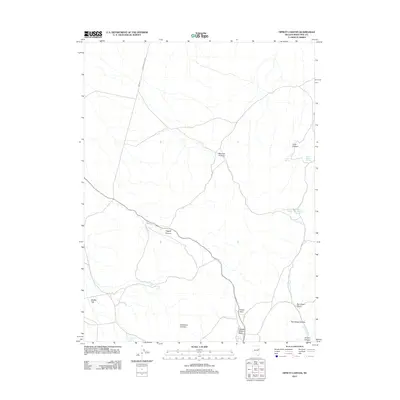
2012 Map of Tippett Canyon
USGS Topo · Published 2012About this map
Tippett Canyon and Mormon Canyon cut through this high-elevation landscape in White Pine County, where water is the primary driver of naming and settlement. This 2012 survey reveals a complex network of springs, including Coyote Spring, Middle Sanford Spring, and Blind Spring, which supported the livestock and ranching activities that define the region. The infrastructure for managing this scarce resource is anchored by the Sanford Reservoir in the east.
Find a feature on this map
20 named features on this map. Tap any name to fly to it.
Don’t see what you’re looking for? This feature index may not catch every label — zoom into the map to look around manually.
Map Details
Editions of this 2012 Tippett Canyon Map
This is the sole edition of this map. No revisions or reprints were ever made.
Other maps of this area

1956 · Ely
USGS Topo · 1:250,000

1959 · Ely
USGS Topo · 1:250,000

1963 · Ely
USGS Topo · 1:250,000
1979 · Sunset Reservoir
USGS Topo · 1:24,000
1981 · Tippett Canyon
USGS Topo · 1:24,000
1981 · Spring Creek Flat NW
USGS Topo · 1:24,000
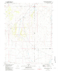
1981 · Georgetta Ranch
USGS Topo · 1:24,000
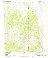
1981 · Weaver Canyon
USGS Topo · 1:24,000
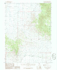
1986 · Grass Valley Wash
USGS Topo · 1:24,000
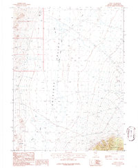
1986 · Tippett
USGS Topo · 1:24,000