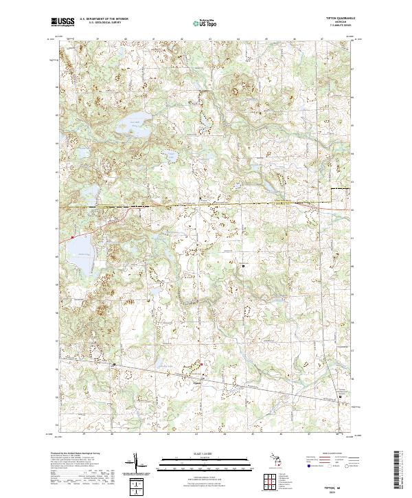
2023 Map of Tipton
USGS Topo · Published 2023About this map
Tipton and Reynolds Corners sit at the center of this 2023 survey of the boundary between Washtenaw and Lenawee counties. The landscape is defined by its glacial hydrology, featuring a dense network of water bodies including Iron Mill Pond, Hudson Lake, and the western reaches of Evans Lake. These waters feed into systems like Iron Creek and Evans Creek, which flow through a countryside still organized by the original Public Land Survey System grid, as evidenced by township markers for t4s r3e, t4s r4e, t5s r3e, and t5s r4e.
Find a feature on this map
90 named features on this map. Tap any name to fly to it.
Don’t see what you’re looking for? This feature index may not catch every label — zoom into the map to look around manually.
Map Details
Editions of this 2023 Tipton Map
This is the sole edition of this map. No revisions or reprints were ever made.
Other maps of this area

1904 · Ann Arbor
USGS Topo · 1:125,000

1906 · Saline
USGS Topo · 1:62,500

1908 · Ann Arbor
USGS Topo · 1:125,000

1939 · Blissfield
USGS Topo · 1:62,500

1941 · Blissfield
USGS Topo · 1:62,500

1948 · Manchester
USGS Topo · 1:62,500

1949 · Manchester
USGS Topo · 1:62,500

1953 · Fort Wayne
USGS Topo · 1:250,000

1954 · Detroit
USGS Topo · 1:250,000

1956 · Fort Wayne
USGS Topo · 1:250,000