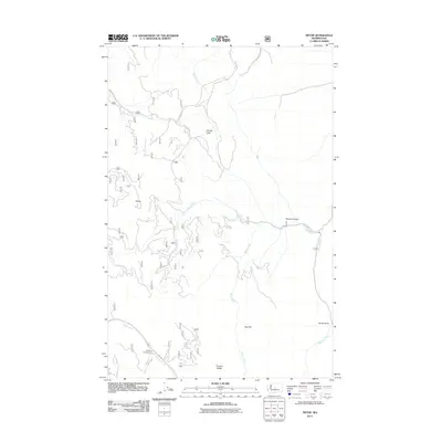
2011 Map of Tiptop
USGS Topo · Published 2011About this map
Tiptop and the surrounding high country of Chelan County are defined by a complex network of forest roads and drainages. The landscape transitions from the open valley of Camas Land in the north to the sharp relief of Tronsen Ridge and Red Hill in the south. This area serves as a significant watershed, where Little Camas Creek, Sand Creek, and Mission Creek carve through the terrain, creating prominent landforms like Poison Canyon and the steep descent of Devils Gulch. Transportation in this modern era relies on routes such as Camas Creek Rd and Five Mile Cr Rd, which provide access to recreational points like Bonanza Campground near the banks of Tronsen Creek. The map documents the intricate topography of the eastern Cascades foothills, showing how modern forest management and recreational infrastructure have integrated with the natural geography of the Wenatchee National Forest area.
Find a feature on this map
18 named features on this map. Tap any name to fly to it.
Don’t see what you’re looking for? This feature index may not catch every label — zoom into the map to look around manually.
Map Details
Editions of this 2011 Tiptop Map
This is the sole edition of this map. No revisions or reprints were ever made.
Other maps of this area
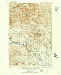
1897 · Mount Stuart
USGS Topo · 1:125,000
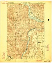
1901 · Chelan
USGS Topo · 1:125,000
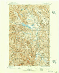
1901 · Chiwaukum
USGS Topo · 1:125,000
1902 · Mount Stuart
USGS Topo · 1:125,000
1904 · Chiwaukum
USGS Topo · 1:125,000
1913 · Wenatchee
USGS Topo · 1:62,500
1915 · Wenatchee
USGS Topo · 1:62,500
1920 · Colockum Pass
USGS Topo · 1:125,000
1922 · Colockum Pass
USGS Topo · 1:125,000
1957 · Wenatchee
USGS Topo · 1:250,000