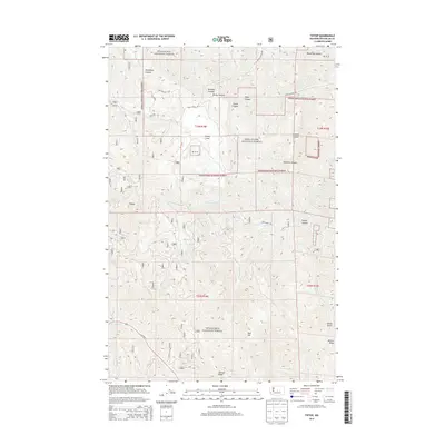
2014 Map of Tiptop
USGS Topo · Published 2014About this map
Wenatchee National Forest dominates this section of the eastern Cascades, where steep canyons and high ridges define the local geography. The settlement of Tiptop sits near the headwaters of the regional drainage system, characterized by a network of seasonal and perennial streams like Sand Cr and Mission Cr. A notable upland basin known as Camas Land provides a rare break in the vertical relief, south of Sherman Canyon and Slawson Canyon.
Find a feature on this map
34 named features on this map. Tap any name to fly to it.
Don’t see what you’re looking for? This feature index may not catch every label — zoom into the map to look around manually.
Map Details
Editions of this 2014 Tiptop Map
This is the sole edition of this map. No revisions or reprints were ever made.
Other maps of this area
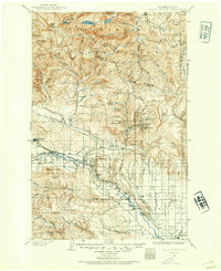
1897 · Mount Stuart
USGS Topo · 1:125,000
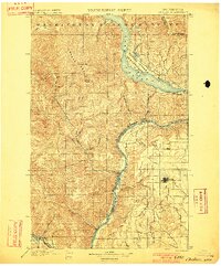
1901 · Chelan
USGS Topo · 1:125,000
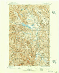
1901 · Chiwaukum
USGS Topo · 1:125,000
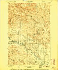
1902 · Mount Stuart
USGS Topo · 1:125,000
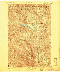
1904 · Chiwaukum
USGS Topo · 1:125,000
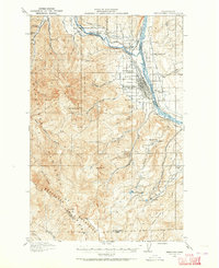
1913 · Wenatchee
USGS Topo · 1:62,500
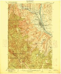
1915 · Wenatchee
USGS Topo · 1:62,500
1920 · Colockum Pass
USGS Topo · 1:125,000
1922 · Colockum Pass
USGS Topo · 1:125,000
1957 · Wenatchee
USGS Topo · 1:250,000