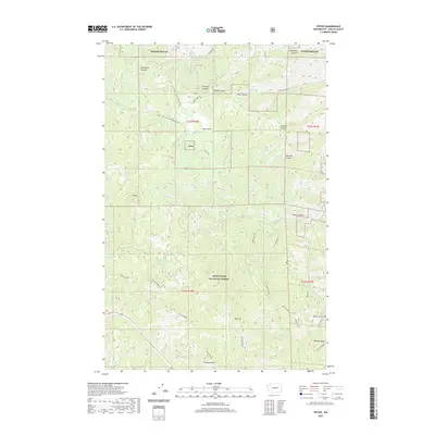
2020 Map of Tiptop
USGS Topo · Published 2020About this map
Camas Land sits within a complex network of high ridges and deep canyons throughout the Wenatchee National Forest. This 2020 topographic record details the varied terrain south of Tiptop, where prominent features like Tronsen Ridge and Mission Ridge define the local watershed. The area is marked by a legacy of forest management and access, shown through Natl Forest Develop Road 7200 Rd and several backcountry trails. Notable canyons including Brender Canyon, Brisky Canyon, and the appropriately named Poison Canyon cut through the landscape, draining toward creeks such as Sand Cr and Mission Cr. Modern recreational and forestry use is evidenced by trails like the Red Devil and Red Hill #1223, providing a clear view of the high-elevation geography of Chelan County in the early 21st century.
Find a feature on this map
37 named features on this map. Tap any name to fly to it.
Don’t see what you’re looking for? This feature index may not catch every label — zoom into the map to look around manually.
Map Details
Editions of this 2020 Tiptop Map
This is the sole edition of this map. No revisions or reprints were ever made.
Other maps of this area
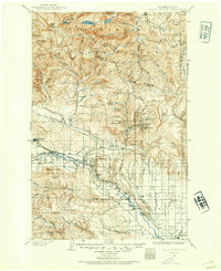
1897 · Mount Stuart
USGS Topo · 1:125,000
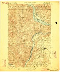
1901 · Chelan
USGS Topo · 1:125,000
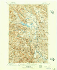
1901 · Chiwaukum
USGS Topo · 1:125,000
1902 · Mount Stuart
USGS Topo · 1:125,000
1904 · Chiwaukum
USGS Topo · 1:125,000
1913 · Wenatchee
USGS Topo · 1:62,500
1915 · Wenatchee
USGS Topo · 1:62,500
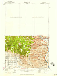
1920 · Colockum Pass
USGS Topo · 1:125,000
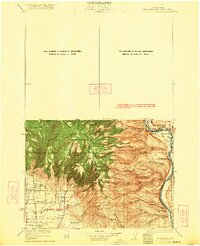
1922 · Colockum Pass
USGS Topo · 1:125,000
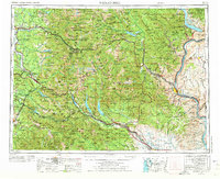
1957 · Wenatchee
USGS Topo · 1:250,000