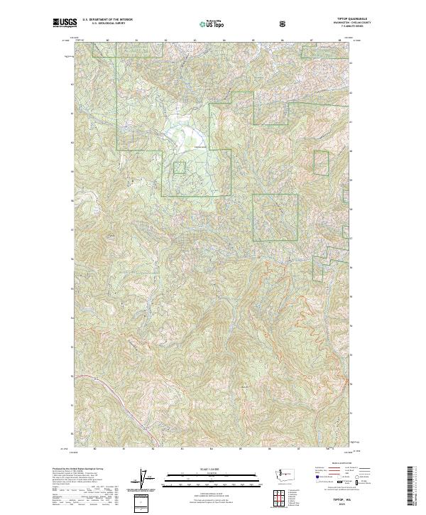
2023 Map of Tiptop
USGS Topo · Published 2023About this map
Wenatchee National Forest dominates this landscape, where the high ridges of the Cascades create a complex network of drainages and recreational corridors. The topography is defined by the sharp elevations of Tronsen Ridge and Mission Ridge, which overlook a series of deep canyons including Brender Canyon and Brisky Canyon. This modern survey illustrates the intricate trail systems that serve the region, such as the Devils Gulch Trl and the Red-Hill #1223 Trl, highlighting the transition from the secluded pocket of Camas Land to the peaks surrounding Tiptop. Water resources like Deer Park Spring and the headwaters of Mission Creek reveal the essential hydrology that supports this protected forest environment.
Find a feature on this map
37 named features on this map. Tap any name to fly to it.
Don’t see what you’re looking for? This feature index may not catch every label — zoom into the map to look around manually.
Map Details
Editions of this 2023 Tiptop Map
This is the sole edition of this map. No revisions or reprints were ever made.
Other maps of this area

1897 · Mount Stuart
USGS Topo · 1:125,000

1901 · Chelan
USGS Topo · 1:125,000

1901 · Chiwaukum
USGS Topo · 1:125,000

1902 · Mount Stuart
USGS Topo · 1:125,000

1904 · Chiwaukum
USGS Topo · 1:125,000

1913 · Wenatchee
USGS Topo · 1:62,500

1915 · Wenatchee
USGS Topo · 1:62,500

1920 · Colockum Pass
USGS Topo · 1:125,000

1922 · Colockum Pass
USGS Topo · 1:125,000

1957 · Wenatchee
USGS Topo · 1:250,000