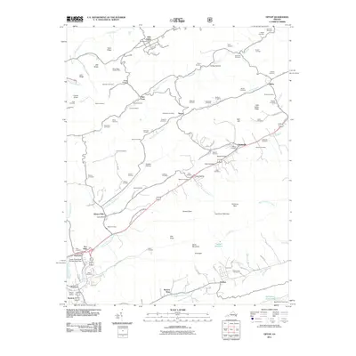
2011 Map of Tiptop
USGS Topo · Published 2011About this map
Abbs Valley and Springville anchor this Tazewell County landscape, where the headwaters of several major regional river systems converge. The terrain is defined by the ridge-and-valley structure of the Appalachian Highlands, featuring East River Mountain and prominent landmarks like Dial Rock and Chimney Rock. This 2011 survey captures the area's intricate network of family burial grounds, including the Sluss, Peery, and Witten cemeteries, reflecting deep-seated genealogical ties to the land. Water management and infrastructure are central to the region, evidenced by the Upper Clinch River Number Eight Dam and the Tazewell Reservoir. The map also documents institutional and industrial sites such as Prison Camp Number 31 near Gratton and the Valley Ridge Lookout Tower, which once served as a vital sentinel for the surrounding timberlands. Small settlements like Wittens Mills, Five Oaks, and Burtons Shop illustrate a decentralized community pattern linked by the North Fork Clinch River.
Find a feature on this map
100 named features on this map. Tap any name to fly to it.
Don’t see what you’re looking for? This feature index may not catch every label — zoom into the map to look around manually.
Map Details
Editions of this 2011 Tiptop Map
This is the sole edition of this map. No revisions or reprints were ever made.
Other maps of this area

1887 · Pocahontas
USGS Topo · 1:125,000

1891 · Tazewell
USGS Topo · 1:125,000

1891 · Pocahontas
USGS Topo · 1:125,000

1894 · Pocahontas
USGS Topo · 1:125,000

1895 · Tazewell
USGS Topo · 1:125,000

1895 · Pocahontas
USGS Topo · 1:125,000

1897 · Tazewell
USGS Topo · 1:125,000

1909 · Pocahontas Special
USGS Topo · 1:48,000

1911 · Pocahontas Special
USGS Topo · 1:62,500

1912 · Pounding Mill
USGS Topo · 1:62,500