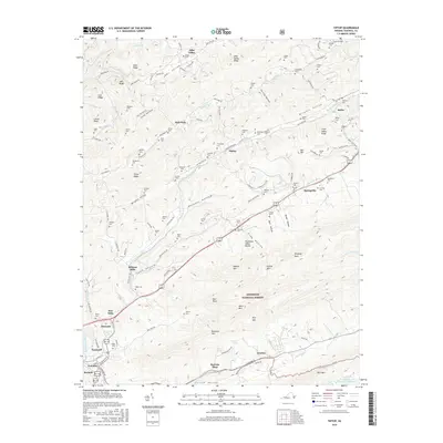
2016 Map of Tiptop
USGS Topo · Published 2016About this map
Wittens Mills and the surrounding mountain ridges define this corner of the Appalachian landscape. The terrain is marked by sharp relief, where the Clinch Valley and Wrights Valley are separated by prominent features like Stony Ridge and Buckhorn Mtn. This area serves as a significant hydrological divide, with the N Fork Clinch River and the Bluestone River drawing from the various hollows and spurs, including Puckett Hollow and Dark Hollow.
Find a feature on this map
146 named features on this map. Tap any name to fly to it.
Don’t see what you’re looking for? This feature index may not catch every label — zoom into the map to look around manually.
Map Details
Editions of this 2016 Tiptop Map
This is the sole edition of this map. No revisions or reprints were ever made.
Other maps of this area

1887 · Pocahontas
USGS Topo · 1:125,000

1891 · Tazewell
USGS Topo · 1:125,000

1891 · Pocahontas
USGS Topo · 1:125,000

1894 · Pocahontas
USGS Topo · 1:125,000

1895 · Tazewell
USGS Topo · 1:125,000

1895 · Pocahontas
USGS Topo · 1:125,000

1897 · Tazewell
USGS Topo · 1:125,000

1909 · Pocahontas Special
USGS Topo · 1:48,000

1911 · Pocahontas Special
USGS Topo · 1:62,500

1912 · Pounding Mill
USGS Topo · 1:62,500