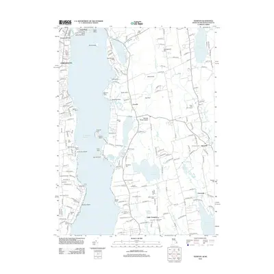
2012 Map of Tiverton
USGS Topo · Published 2012About this map
Watson Reservoir and the winding coastline of the Atlantic Ocean dominate this coastal landscape, illustrating the intricate relationship between the region's inland water resources and its maritime edge. The map highlights the agrarian and viticultural heritage of the area, featuring working lands such as Sakonnet Vineyards, Young Family Farm, and Boughs And Berry Farm.
Find a feature on this map
208 named features on this map. Tap any name to fly to it.
Don’t see what you’re looking for? This feature index may not catch every label — zoom into the map to look around manually.
Map Details
Editions of this 2012 Tiverton Map
This is the sole edition of this map. No revisions or reprints were ever made.
Other maps of this area

1885 · Sakonnet
USGS Topo · 1:62,500

1888 · Fall River
USGS Topo · 1:62,500

1888 · Sakonnet
USGS Topo · 1:62,500

1889 · Newport
USGS Topo · 1:62,500

1890 · Narragansett Bay
USGS Topo · 1:62,500

1892 · Narragansett Bay
USGS Topo · 1:62,500

1893 · Sakonnet
USGS Topo · 1:62,500

1893 · Fall River
USGS Topo · 1:62,500

1894 · Newport
USGS Topo · 1:62,500

1904 · Newport
USGS Topo · 1:62,500